Budapest Transport Analytics
- Technologies
- Python
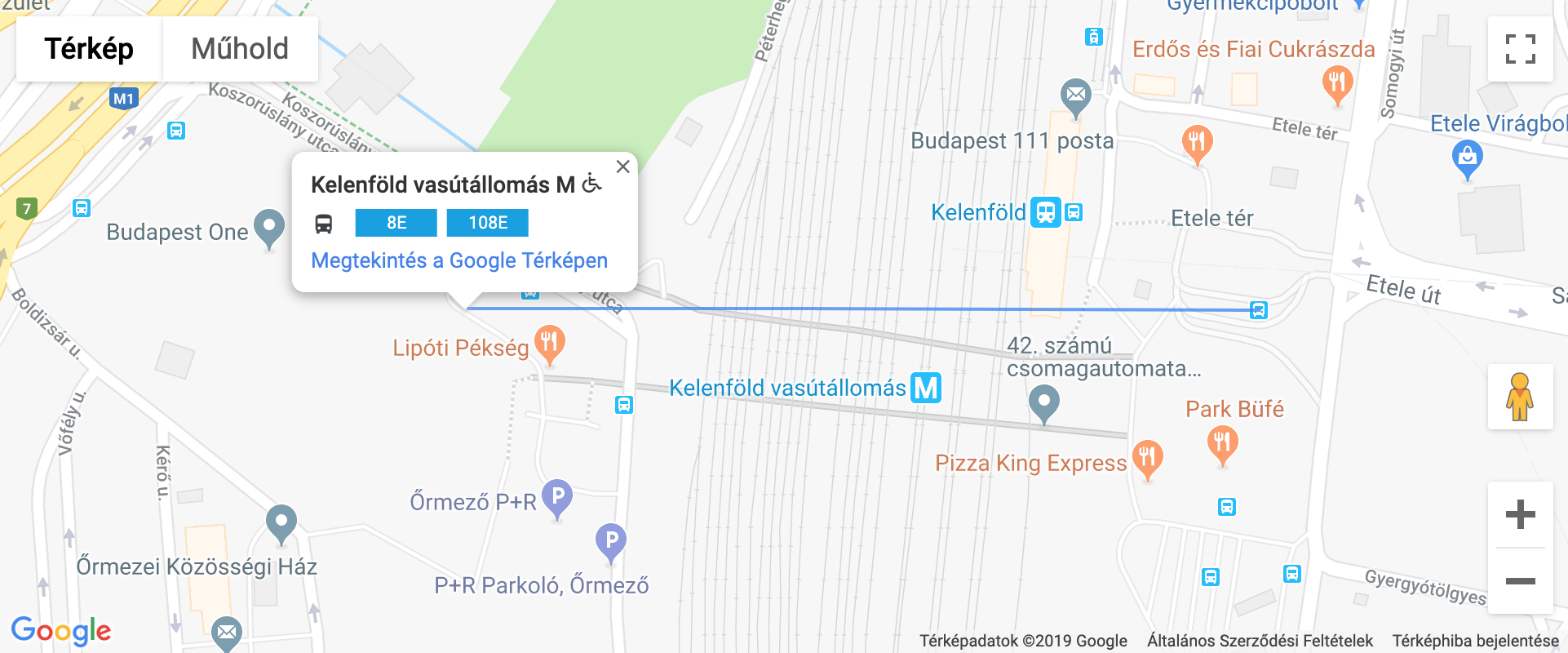
This project explores the structure of Budapest’s public transport network by analyzing stop data provided by the Centre for Budapest Transport in Budapest.
Its main goal is to examine stops that share the same name across the city and reveal how they relate to each other geographically. In large transit systems, identical stop names can represent closely connected platforms—or locations surprisingly far apart. This project highlights those patterns, uncovering inconsistencies, interesting edge cases, and spatial relationships within the network.
By turning raw transport data into clear, location-based insights, the project offers a new perspective on how urban mobility is structured and how naming conventions reflect (or sometimes fail to reflect) physical proximity.
It’s a small exploration of how open public data can reveal hidden characteristics of a city’s infrastructure.
Beyond the transport analysis itself, this was my first Python project. I learned the language while building it, using a real-world dataset to explore geospatial questions and transform raw public data into meaningful insights. It marks the starting point of my journey with Python—driven by curiosity, experimentation, and a practical problem to solve.